Powered by


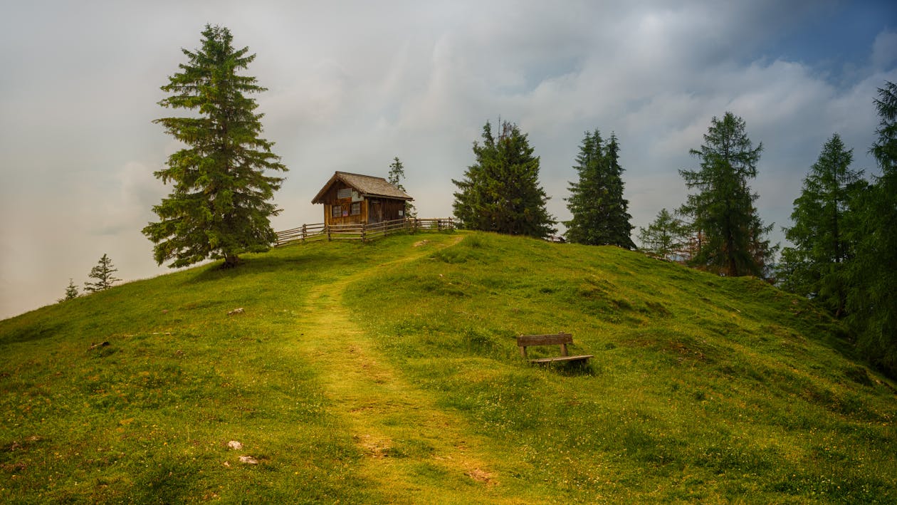
Hiking tip: Moarhof hut
Host
Hotel Solvie
Hotel Solvie
Details
Difficulty: easy
Total walking time: approx. 2,5 h
Altitude difference: 250 m
Tour length: 6 km
Highest point: 1833 m
Starting point: Hofern
ROUTE DESCRIPTION
Follow the wide forest road to the signpost "Moarhofalm", always following the mark 65 (marmot trail). Walk along the cleared forest path in a comfortable incline through the coniferous forest. After four hairpin bends, the dense forest also gives a view of the surrounding mountains, reaching as far as the Braies and Sesto Dolomites.
Almost level along the slope you soon reach the alpine tavern of the Moarhofalm (1,833 m above sea level), which is open until late winter. A stop is worthwhile!