Boundary Path

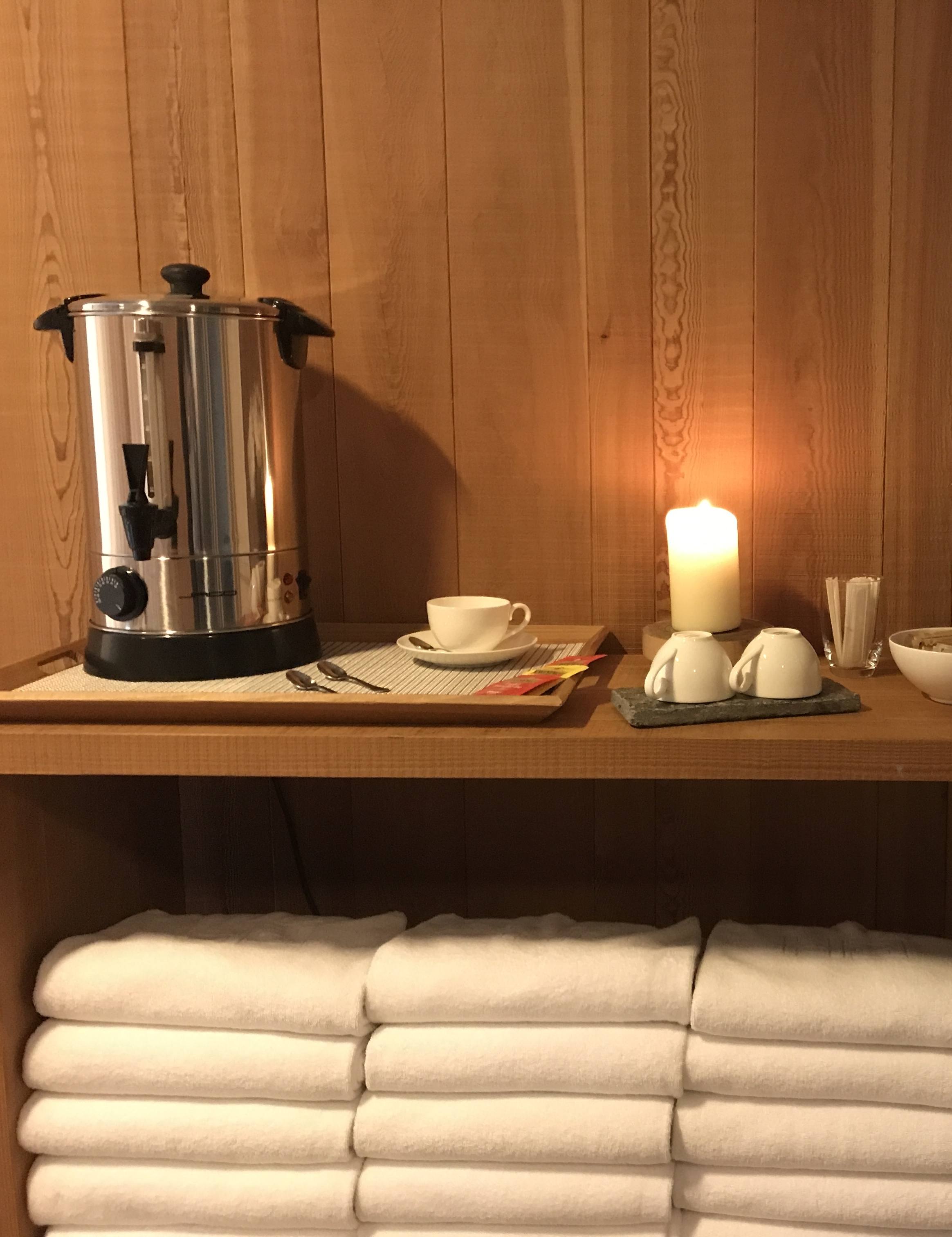
Host
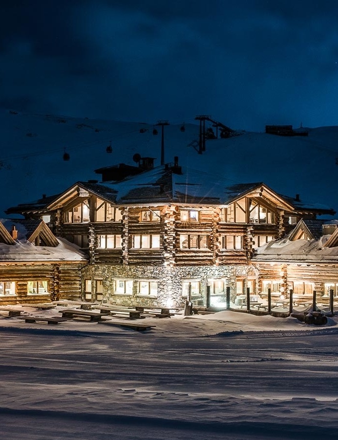
Eden Hotel
Via Funivia, 3, Bormio
Details
Boundary Trail
Forni - Fantelle
Total length of the hike: 21.92 km
Total height difference in ascent: 529 m
Approximate time of the hike: 5 hours and 30 minutes
Difficulty medium route (5 out of 10)
Itinerary: from July until October
ROUTE:
A 21.92 km stage of medium difficulty but with beautiful panoramic views of the Forni Glacier and Valfurva. It starts near Rifugio Forni and arrives at the Fantelle parking lot in Madonna dei Monti. Initially take the dirt road toward the Branca hut and at the fork turn toward Malga dei Forni, continue toward the Girella bridge until you reach the dirt road that leads to Rifugio Pizzini. Enchanting scenery on the 13 peaks and Gran Zebrù and the whistling of marmots will keep you company. You descend briefly on the carriage road and then take the mostly flat S257 trail on the right that crosses the Confinale mountain passing through the small hamlets of Raseit, Ablés and Malga Confinale. Continue to the Ables mountains, where you can stop at the farm of the same name, the Confinale malga until you reach the Baite di Cavallaro huts. Once here, after a wide panoramic view of the Bormio basin, a descent begins that is quite challenging for its gradient until the entrance to Val Zebrù and then ends the stage through an uphill section on single track that leads to the Fantelle parking lot in the hamlet of Madonna dei Monti.
Recharge points: Forni.