Viola Valley Overview

Host
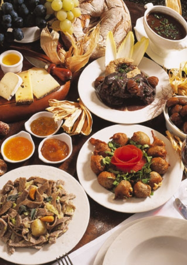
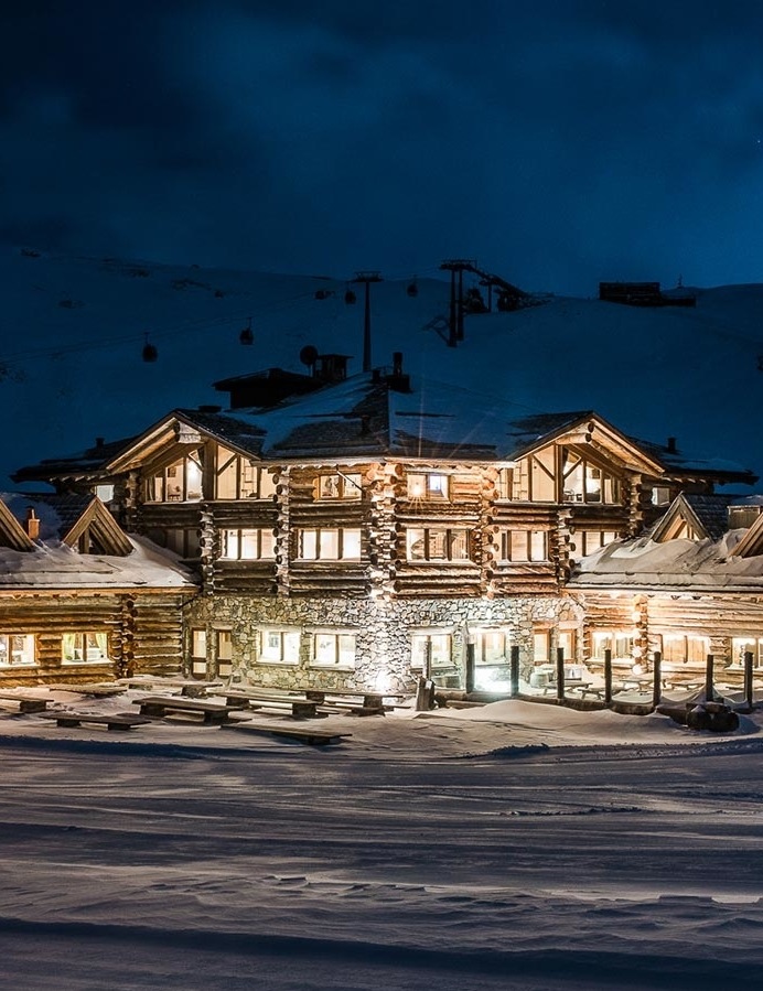
Eden Hotel
Via Funivia, 3, Bormio
Details
Viola Valley Overview
Hotel Viola - Funera
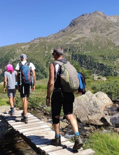
Total length of the hike: 10 km 73 m
Total elevation gain on ascent: 567 meters
Approximate time of the hike: 3 hours 26 minutes
Difficulty: easy (4 out of 10)
ROUTE:
In front of the Hotel Viola, in the locality of Arnoga di Valdidentro, take the sent. N148 that, after two uphill hairpin bends reaches Baite Cagnol, a typical rural settlement. The trail continues uphill, initially in the woods and then along pastures and offers excellent panoramic views of the surrounding mountains: the San Colombano, Cima Piazzi, Corno Sinigaglia, Corno Dosde' and Cima Viola. At the fork in the road, in the Soleir locality, go upstream along an unmarked track that leads near the Sattarona locality, where there is a dizzying view of the valley and toward Val Verva. From here you continue along the sent. N128 that passes by Stagimei and start descending through pastures and meadows. The return is planned on the sent. N290, the main driveway the Val Viola and Arnoga, home of the Sleddog Center. On this route guides organize and accompany snowshoe hikes in winter.