Four Lakes Bike Tour

Host
Das König Ludwig
Das König Ludwig, Kreuzweg 15, 87645, Schwangau
Details
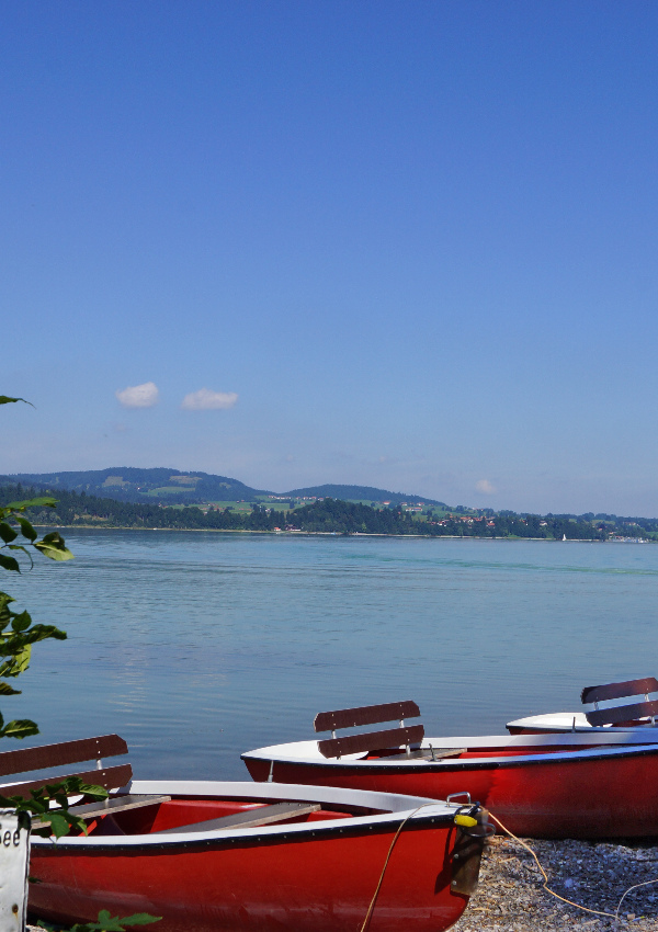
In the Allgäu there are many lakes, which were formed by the glaciers during the last ice age. The lakes are suitable for many sports. The Forggensee is the fifth largest lake in Bavaria and was created by the damming of the Lech in 1950. Due to the damming, the farmers of the village Forggen had to leave their houses. This place also gave the Forggensee its name. The foundation walls of the former farms are still visible in winter in the drained lake.
Start on the Forgensee cycle path in a northerly direction to the crossroads at Rauenbichel, turn right here. In Berghof follow the cycle path signs in the direction of Bannwaldsee, Füssen. After the Bannwaldsee, at the Pöllat bridge, leave the cycle path and turn left towards the B17. Cross the bridge and continue on the right bank of the river Pöllat. After the mill on the left, I recommend the short detour the exit of the Pöllatschlucht, worth seeing. At the edge of the forest slightly downhill towards Königsschlösser. Following the stream of people, uphill towards Hohenschwangau, Alpsee. At the lake up to the right, on the Fürstenstraße.
At the end of the lake great descent, then it goes again strongly uphill to the border houses Bavaria / Tyrol. From here on gravel down to Schluxenwirt. In the plain turn right and ride to the old bridge Ulrichsbrücke, which you cross. Follow the cycle path in the direction of Musau. At the beginning of Musau, at the bus stop, cross the road and turn right into Ranzental towards Vils.
In Vils leave the cycle path and keep left of the church. Cross the Vils to the other side of the valley. Where the ridge has the lowest point, the forest road goes up to the Alatsee. At the lake keep right. Now descend in an easterly direction (great descent) to Bad Faulenbach. Once you have reached the town, you pass Füssen (worth a visit) directly on the Lech.
Key point Lechkraftwerk - coming from Füssen, under the Lech road bridge - here immediately after the bridge, right down, over the power station. Now just follow the Forgensee cycle path.
Distance: 45,00 km
Time of movement: 3:15:00
Altitude difference: 385 m