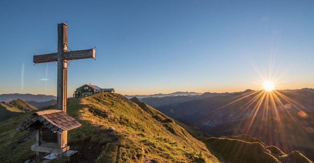

Gamskarkogel - difficult

Host
Hotel Oberforsthof
Alpendorf 11, Sankt Johann im Pongau
Details
Mountain hike to the highest grass mountain in Europe, the Gamskarkogel.
Difficulty: difficult
Hardfacts:
7h30min Duration
14,06 km
1.162 meters of altitude
max. altitude 2.442 meters
Parking lot:
Parking possibility at the Hinterfeld farm
Route description:
Drive by car to Hüttschlag, immediately before the tunnel turn right onto the goods road to the Hinterfeld farm - parking possibility. Moderately ascending forest path (path no. 43/502A) to the Harbachalm, 1,612 m (approx. 1 1/2 h). A bit after the chapel there is the possibility to take the shortcut along the hiking trail. Continue on the Almsteig to the Tofernalm, 1,820 m (approx. 1/2 h, not managed) and to the Tofernscharte, 2,091 m (approx. 1 h). At the Tofernscharte turn right (trail no. 43/502A) over the ridge to the Gamskarkogel, 2,467 m and the Gamskarkogelhütte ("Bad Gasteiner Hütte", 2,465 m approx. 1 1/2 h).
Return on the same path or continue on a narrow trail to the Frauenkogel, 2,424 m (approx. 3/4 h). - Descent from the Frauenkogel via the Bachalm, 1,535 m or the Aigenalmen (Mandlhütte, 1,342 m and Paulhütte, 1,280 m).


