Description
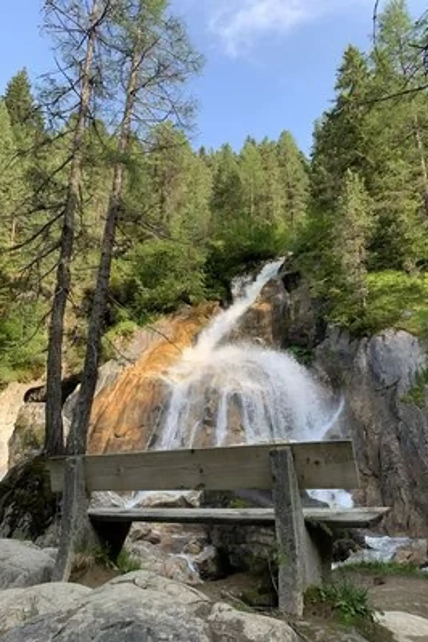
Hike Description: Just to the left of the valley station of the Glacier Cable Car, you can already see the lowest waterfall, the Kesselfall. Follow several switchbacks (Trail No. 16 and AV Trail No. 526) up to the “Schraubenfälle” natural monument. Follow a narrow path through the protective forest to the farm road (Trail No. 14), which comes up from Hintertux. Turn right onto it, passing the “Walfischmaul,” a split boulder that resembles a whale’s mouth. Then take the right fork onto the hiking trail (AV Trail No. 526) toward “Spannagelhaus.” Continue on this trail until a signpost points to the right toward “Sommerberg.” Cross a narrow bridge to the beautiful valley basin on the Waldeben. Descend via Trail No. 16 back to the valley station of the glacier cable car.
Difficulty: moderate
Distance: 3.5 km
Walking time: 2 hours
Elevation gain: 260 m
Elevation loss: 260 m
Highest point: 1,770 m
Circular hike
Suitable for families
Practical information
- Meeting point
- Hintertux Glacier Cable Car
- Address
- Lanersbach 492, Tux, AT
- Date
- Schema startDate
2026-10-17- Schema endDate
2026-10-17- Bookable
- No
Offer
- Ticket
- Book online
- Price
- See booking page
- Booking URL
- https://giggle.tips/en/experience/ed54191b-90a5-49f2-bbd2-f629c0e1fb1a/sentier-des-cascades-de-schrauben