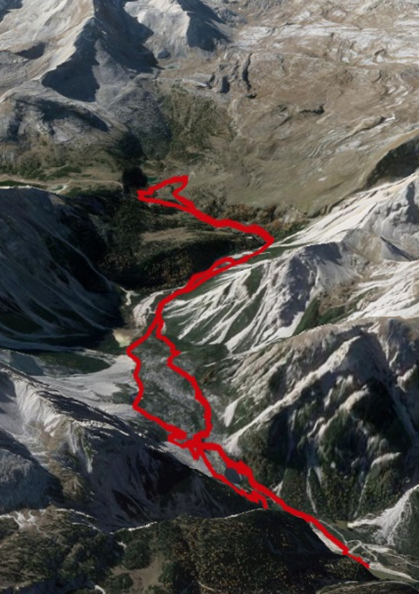
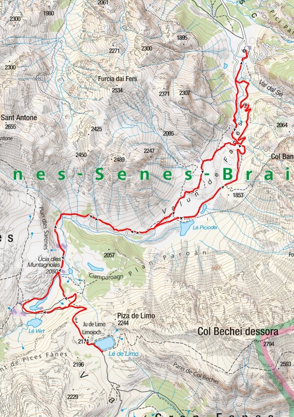
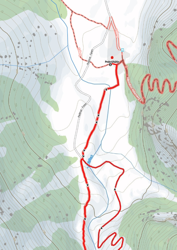
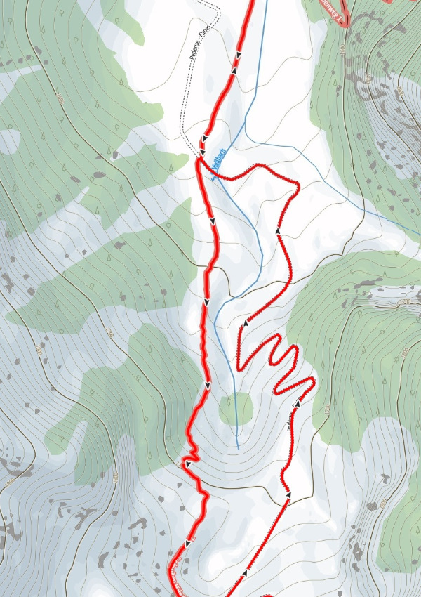
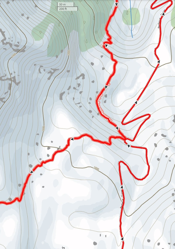
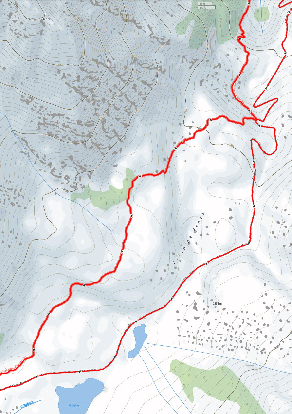

Map & route Fanes high plateau
Punto de encuentro
Start der Wanderung: Berggasthof Pederü

Anfitrión
Dolomiten erleben
Birchach 8
Detalles
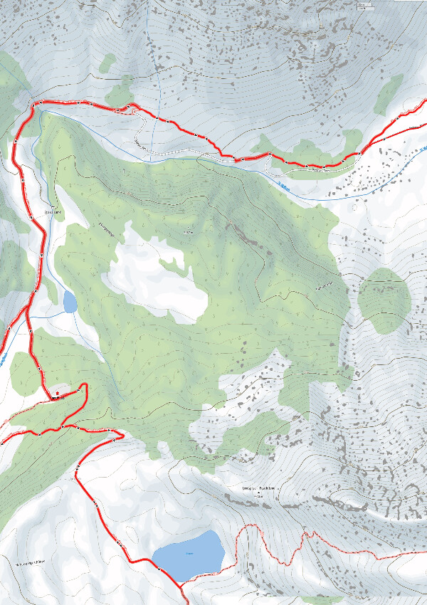
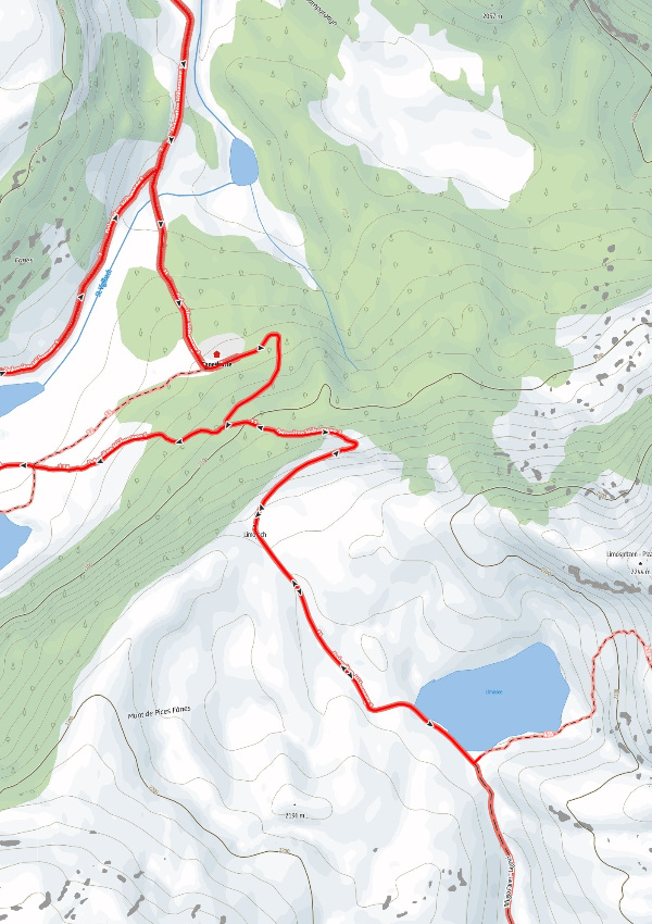
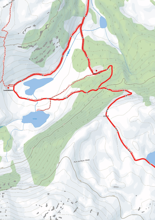
After the ride with the public bus to Pederü, which leaves every hour, you hike from the mountain inn Pederühütte along the Dolomite Alta Via 1, path #7 in the direction of the hut Lavarella and Fanes.
Once on the plateau, the path leads to the left at the cross to the Fanes hut, past this and briefly shorten the serpentine path through the path. After a good 50m on the road, go down to the right via the
the small path towards the visible Lavarella hut and the lakes:
From the Lavarella hut, take the road back down to the starting point. Depending on your mood, you can also return via the somewhat steeper trail #7.
Route: 14.3 kilometres
Duration: approx. 5 hours
Ascent & descent: 680 metres altitude difference