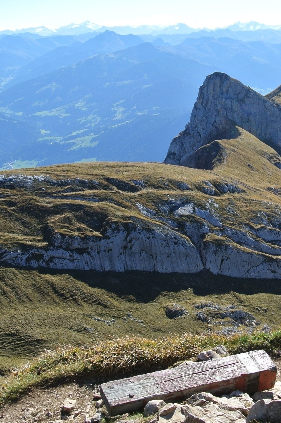

Vorderes Sonnwendjoch

Host
Der Böglerhof
Dorf 166, Alpbach
Details
A hike with a view
Walking time: approx. 7 hours
Level of difficulty: difficult
Height: 2,224m
Route description:
With an altitude of 2,224 metres, Sonnwendjoch is the south-easternmost foothill of the Rofan mountain range. Due to the exposed location of the summit, you can enjoy a wonderful view from Unterinntal valley to the Zillertal, Kitzbühel, and Stubai Alps.
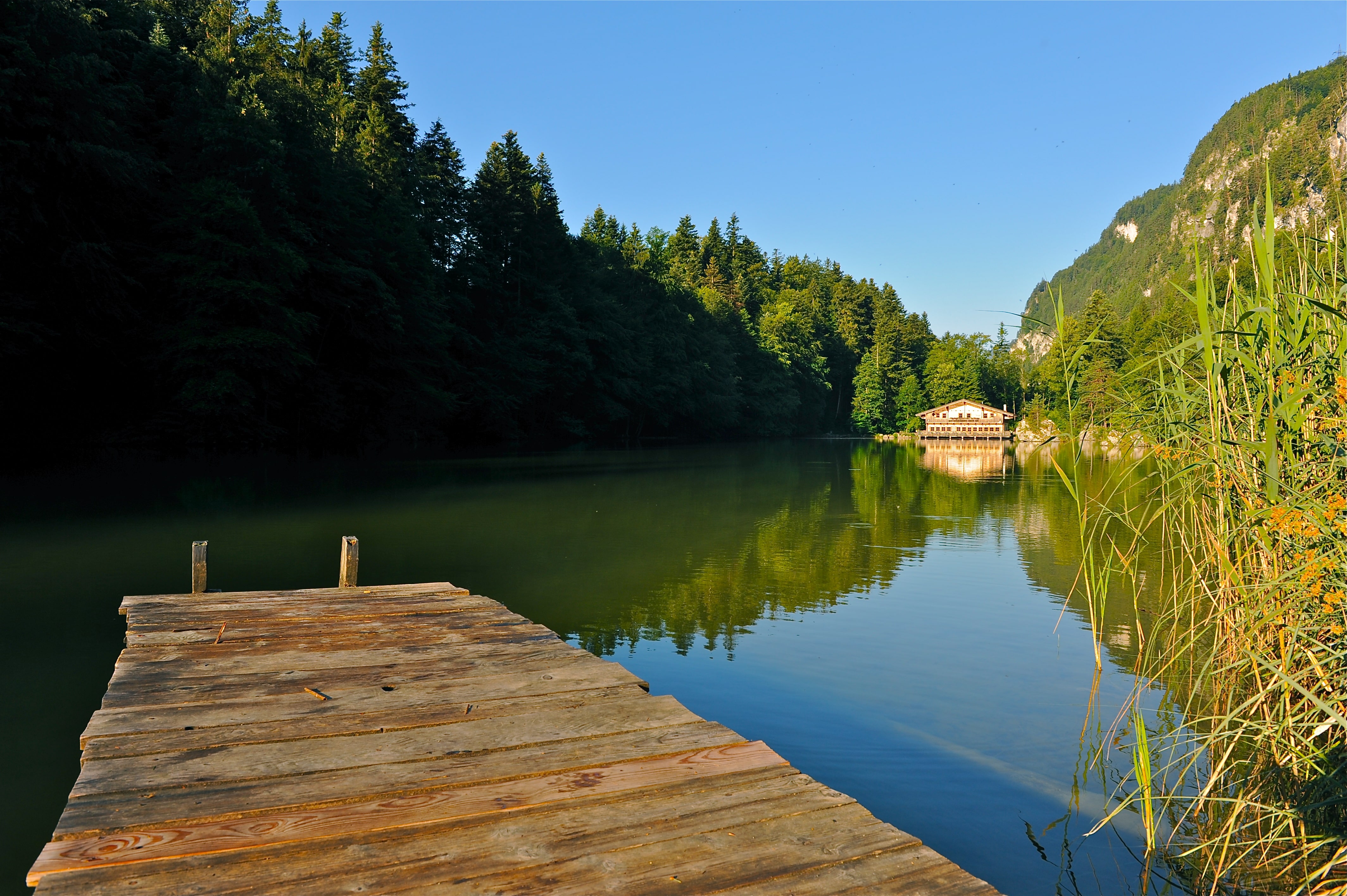
The ascent continues until just below the Rosskogel, then you hike along the alpine meadows to the Zireiner See lake (follow the signs to Zireiner See lake). From the west end of the lake, the trail leads you in part quite steeply via the Schafsteig path (via ferrata) to the prominent ascent between Rofanspitze and Sagzahn. Now follows a short but demanding ascent through the chimney to Sagzahn at 2,228m. (You can bypass this part, but will have to plan for an additional 45 minutes). From Sagzahn you now reach Vorderes Sonnwendjoch without difficulty (walking time approx. 3.5 hours from the mountain station). The trail now only leads downhill to the Bayreuther hut or Bergalm pasture.
Our tip: Do not underestimate the descent (1,650 metres in 3.5 to 4 hours) and take your time. In short: a challenging alpine tour with unique panoramic views.