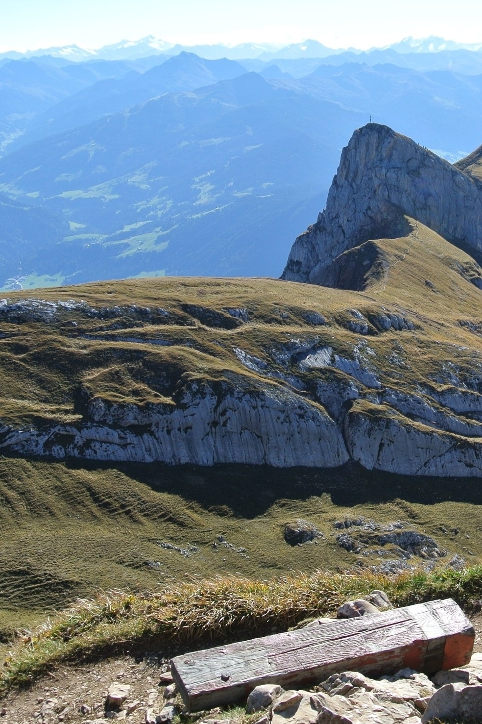

Vorderes Sonnwendjoch

Gastgeber
Der Böglerhof
Dorf 166, Alpbach
Details
Eine Wanderung mit Aussicht
Wanderzeit: ca. 7 Stunden
Schwierigkeitsgrad: schwierig
Höhe: 2.224m
Routenbeschreibung:
Das Sonnwendjoch ist mit einer Höhe von 2.224 Metern der südöstlichste Ausläufer des Rofangebirges. Durch die exponierte Lage des Gipfels genießt man eine herrliche Aussicht vom Unterinntal bis zu den Zillertaler, Kitzbüheler und Stubaier Alpen.
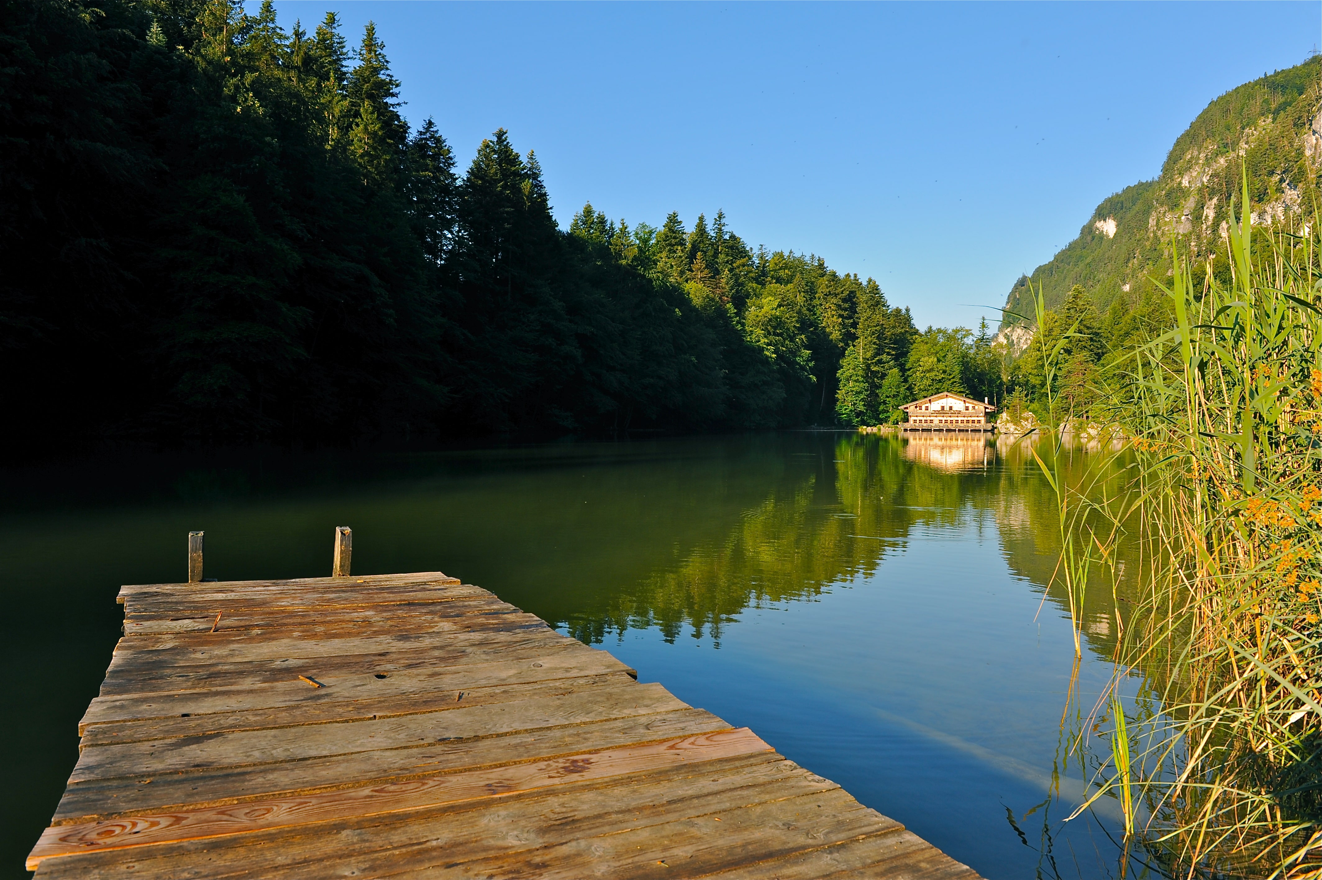
Der Aufstieg erfolgt bis knapp unterhalb des Rosskogels, dann wandert man entlang der Almwiesen zum Zireiner See (Beschilderung zum Zireiner See folgen). Vom Westende des Sees führt der Weg zum Teil recht steil über den Schafsteig (Klettersteig) zum markanten Anstieg zwischen Rofanspitze und Sagzahn. Nun folgt ein kurzer, aber anspruchsvoller Anstieg durch den Kamin zum Sagzahn auf 2.228 m. (Man kann diesen Teil auch umgehen, muss dann aber zusätzliche 45 Minuten einplanen). Von Sagzahn aus erreicht man nun ohne Schwierigkeiten das Vordere Sonnwendjoch (Gehzeit ca. 3,5 Stunden ab Bergstation). Der Weg führt nun nur noch bergab zur Bayreuther Hütte oder zur Bergalm.
Unser Tipp: Unterschätzen Sie den Abstieg nicht (1.650 Meter in 3,5 bis 4 Stunden) und nehmen Sie sich Zeit. Kurzum: Eine anspruchsvolle Alpintour mit einmaligen Panoramablicken.