

The “Hochkreuz” with a difference
Meeting point
Reception

Host
Nature Spa Resort Quelle
Frazione Maddalena 4
Details
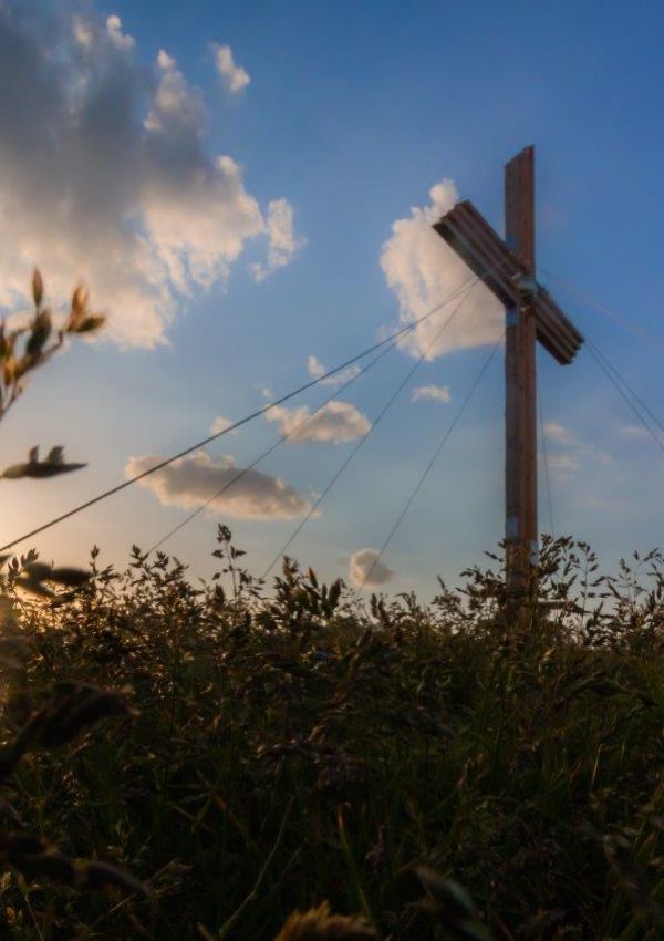
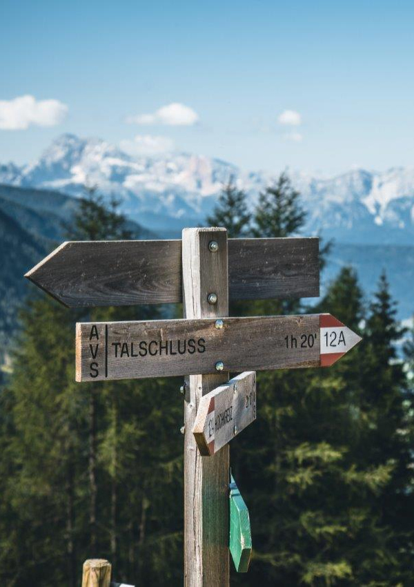
We start from the Talschlusshütte and hike along the Pidigtal, past the Oberberg Alm, up to the source of the Gsieser Bach river on the Gsieser Törl, along the border with Austria. Passing the old customs barracks, we continue steeply uphill to today's destination: the Hochkreuzspitze (2,739m).
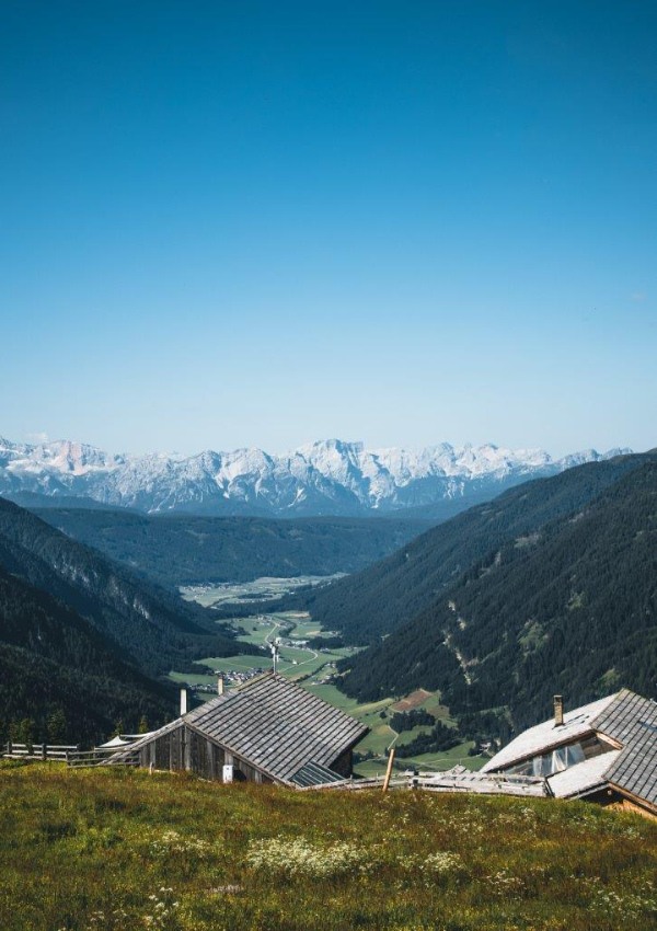
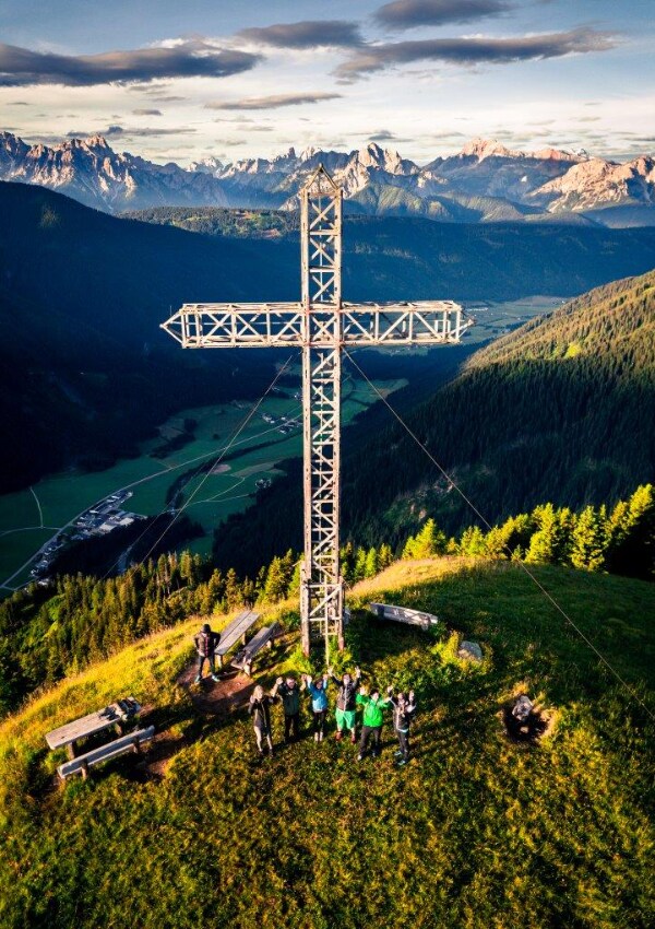
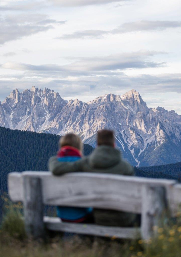
From here you can absorb breath-taking and magical panoramic views: Of South Tyrol’s highest mountain – the “Ortler”, right up to Austria’s highest peak – the “Großglockner” and across to the “Three Peaks” and much more: A true treat for the eyes!
Walking time: ca. 5,5 hours Ca. 1.200 altitude difference
Difficulty: demanding mountain tour SURE-FOOTEDNESS & A HEAD FOR HEIGHTS REQUIRED!
Refreshment possibilities: “Oberberg Alm”, “Uwald Alm”
You will receive more information about backpack provisions during breakfast!
Please do not forget drinks!
When
Team