Description
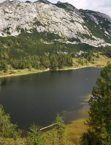
We head to the highest lake plateau in the Northern Limestone Alps.
We take an 8-seater bus on a well-maintained, asphalted serpentine road to the Tauplitzalm (1650m).
From there, we walk across the plateau until we reach the "Traweng" hiking trail.
The ground of the steep hiking trail is mostly loose, so sure-footedness is a prerequisite. Exploring the barren rocky landscape near the summit offers an unforgettable, beautiful impression of the "Totes Gebirge" nature reserve.
Distance: 8 km
Duration: 3.5 h
Ascent: 500 m
Highest point: 1,981 m
Difficulty: very difficult
Approach: 20 min.
Practical information
- Meeting point
- In front of the bike store
- Address
- Tauplitz, AT
- Maximum participants
- 8
- Bookable
- Yes