High valley Plätzwiesen

Host
Dolomiten erleben
Birchach 8
Details
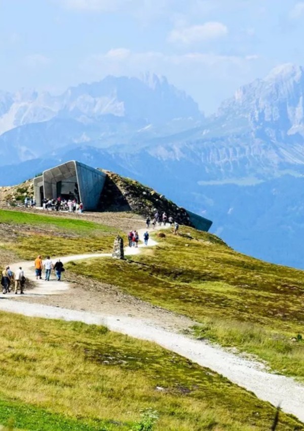
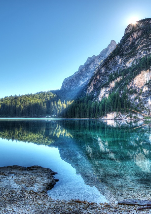
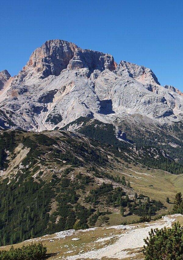
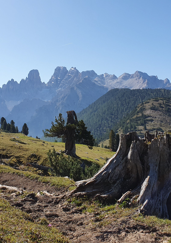
This high plateau in the Braies Valley is part of the Fanes-Sennes-Braies Nature Park and offers a breathtaking mountain panorama of the Dolomites. The grazed alpine pastures lie between the Dürrenstein, 2839 m and the Hohe Gaisl, 3146 m, the highest peak of the Braies Dolomites, which also forms the border ridge between South Tyrol and the province of Belluno.
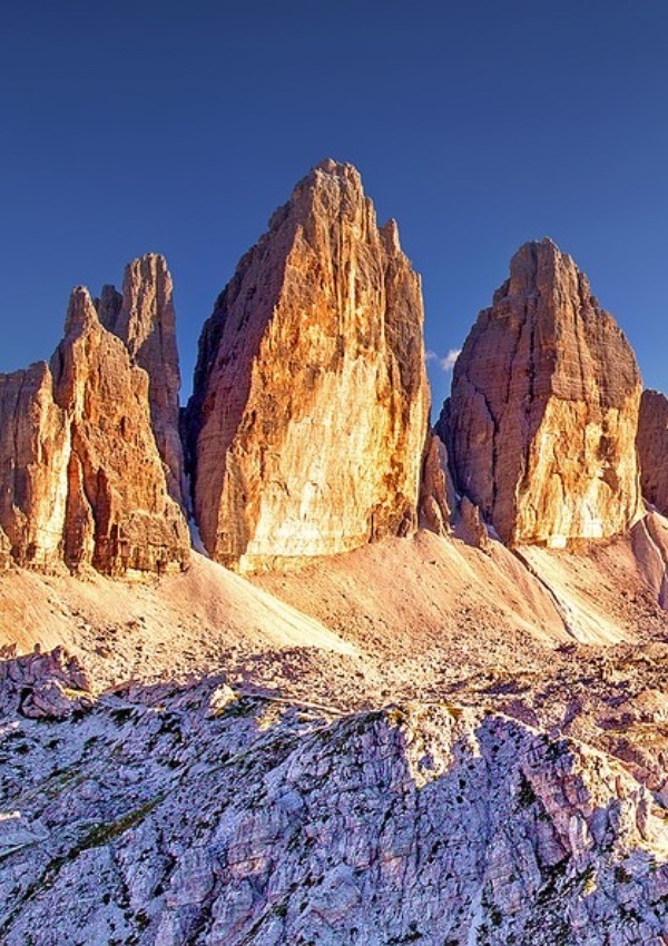
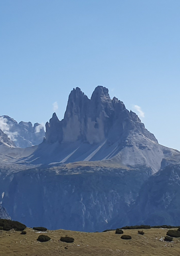
The fantastic viewing platform is the Strudelkopf, 2307 m, with its ingenious views of the historical Monte Piano, 2324 m, the monument of the Dolonite Three Peaks, 2999 m, as well as the rugged Monte Cristallo massif, 3,221 m.
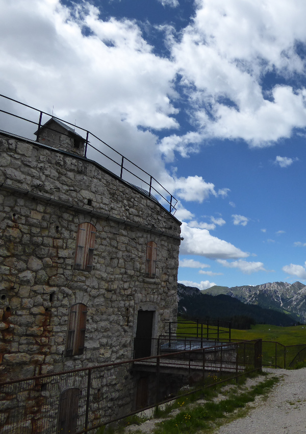
But also in the K.u.K. Monarchy this high plateau was already an important location. At the end of the 19th century, the so-called "Plätzwiese barrage" was built directly at the Dürrenstein Hut.
This fort of the Austro-Hungarian military administration served to secure the Höhlenstein valley during the 1st World War and was intended to prevent enemies from gaining access to the Pustertal valley. Today, the former plant houses the Dürrensteinhütte's emergency power generator.
A long time ago there was a continuous asphalted connection between the Pustertal and the Höhlensteintal. Today, only the northern approach is still asphalted.