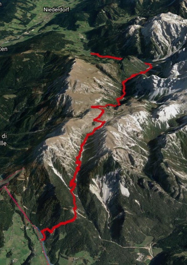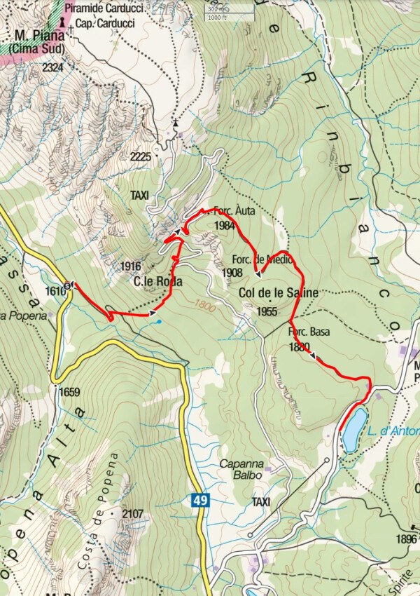

Map & trail at the Geisler peaks

Host
Dolomiten erleben
Birchach 8
Details
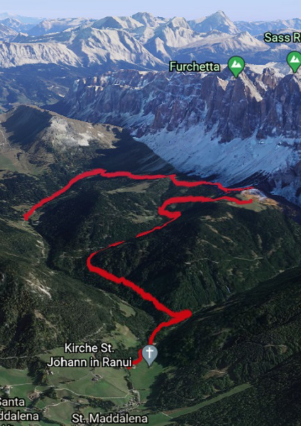
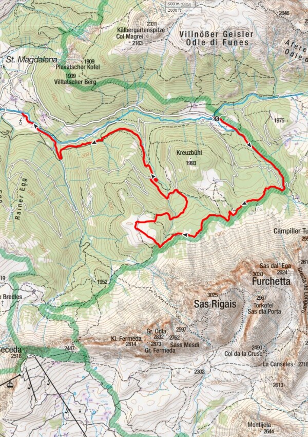
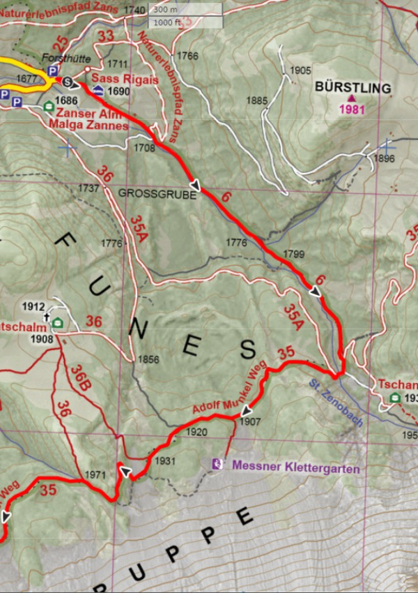
On the first day of hiking you will undertake a pleasant "acclimatisation hike" at the foot of the Geisler peaks, in the Puez-Odle Nature Park. Take the public bus to the "Zanser Alm". From there, take the path next to the Tschantschenonbach stream (St. Zeno) in the direction of the Adolf Munkel path.
At the junction with the "Gampenalm" trail, the Adolf Munkel trail starts at the bend, well signposted with a slight ascent in a south-westerly direction.
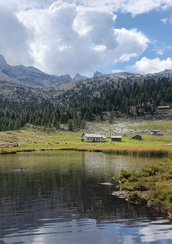
This trail leads below the imposing Geisler peaks in a westerly direction to the beautiful alpine pastures of this region.
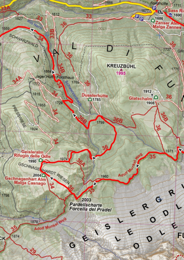
Pass the large boulder with the memorial plaque to Adolf Munkel from the DAV Dresden section and turn right at the 4th junction in Summer to the Gschnagenhart-Alm.
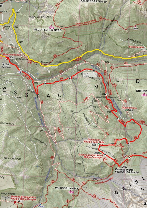
After the Gscnagenhard-Alm, just before the Geisler-Alm, the signposted trail #36 leads down towards the Dusler Alm. Shortly before this, take the forest road #36B to the left for a few metres and continue to the right on the forest road #34 to the hunting lodge. At this point you can turn right and hike back to the starting point at Zanser Alm, or continue straight on to St. Magdalena/Villnöss.